|
|
|
 Task area Plant Objects, Path Areas
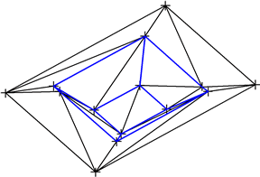
Site plans and survey data saved as point files can be imported using the tools in the Terrain Model task area. The terrain is three-dimensional and can be edited using the tools in the CAD program.
In addition, you can design and calculate the cut and fill for digital terrain models.
You can also import and export DXF files and DWG files.
To create new site plans, you can use all the tools ALLPLAN provides for designing, labeling and dimensioning elements.
|
(C) ALLPLAN GmbH |
Privacy policy |