![]()
![]()
|
|
|
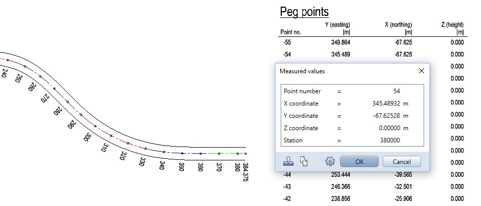
You can use the new ![]() Site Plan Legend tool in the Site Plan module to output the coordinates of terrain points in a legend, which is always derived from the selected drawing files or the NDW file and placed in the current document. Unlike other legends, the site plan legend also includes elements in reference drawing files and elements on visible, frozen layers. It updates automatically to reflect any changes you make (provided you have defined the settings accordingly).
Site Plan Legend tool in the Site Plan module to output the coordinates of terrain points in a legend, which is always derived from the selected drawing files or the NDW file and placed in the current document. Unlike other legends, the site plan legend also includes elements in reference drawing files and elements on visible, frozen layers. It updates automatically to reflect any changes you make (provided you have defined the settings accordingly).
The legend lists point numbers and coordinates of all selected terrain points, station points of a composite element and grid points of a digital terrain model. This legend uses the national coordinate system, where the x-axis points up and the y-axis to the right. Consequently, the legend lists the x value in Allplan as easting (y value in national coordinates) and the y value in Allplan as northing (x value in national coordinates).
|
(C) ALLPLAN GmbH |
Privacy policy |